September 9 - Tuesday - Pacific City is known for its beach-launched fishing dory fleet so we got up just after sunrise to see if we could catch the action but seagulls were ruling the beach when we arrived. That is Cape Kiwanda in the background.
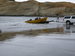
We didn't have to wait too long though. The launching sequence took about 5 minutes and definitely isn't about staying dry.
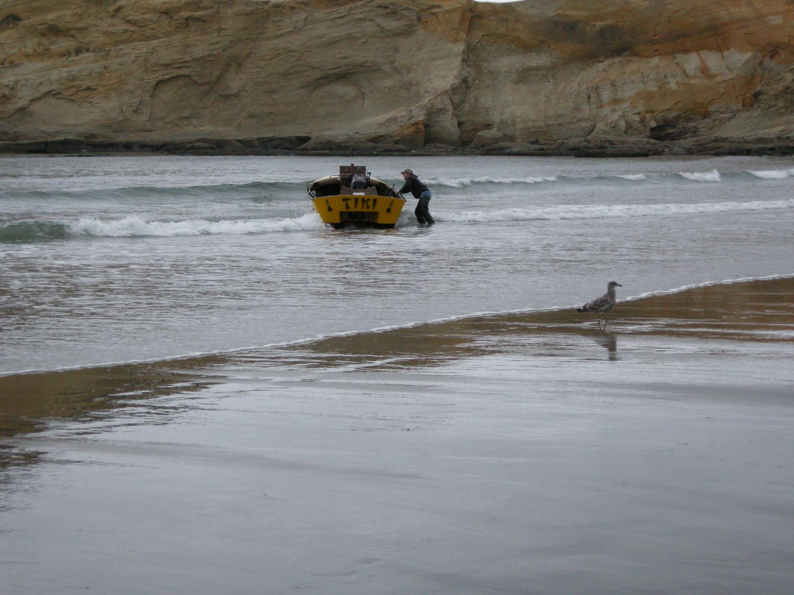
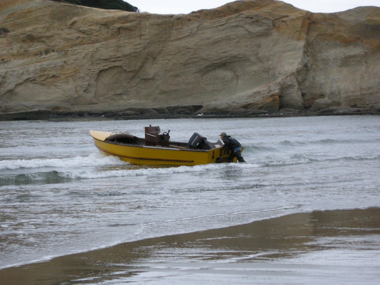

They have been launching dories this way from this beach for over a hundred years, at first with oars and double-ended boats. It is unique in the world of fishing fleets. They fish for salmon, crab, tuna, and rockfish.

This wall names all the boats in the fleet along with the fleet's history and some appropriate poetry - The Devil with Dorymen- which records a conversation between the Devil and a doryman. The poem ends with these stanzas:
"My friend" laughed Satan, "You've led a hard life.
Your story has logic, it's sound!
You may return to that rip in the sky
And your thirty-six cents a pound."
"Aw, beggin' your pardon" the doryman cried,
"There's no cause here for alarm!
If you'll just let me stoke up your fire,
I'd sooner stay here where it's warm."

Turns out one of the boats is named after Doug's family and he didn't even know it! (Robin)

Time for breakfast. We returned to camp to finish packing and headed into town where we ate at the Village Coffee Shop, what had to be the local's favorite breakfast place, small but packed, with delicious food in ample portions.

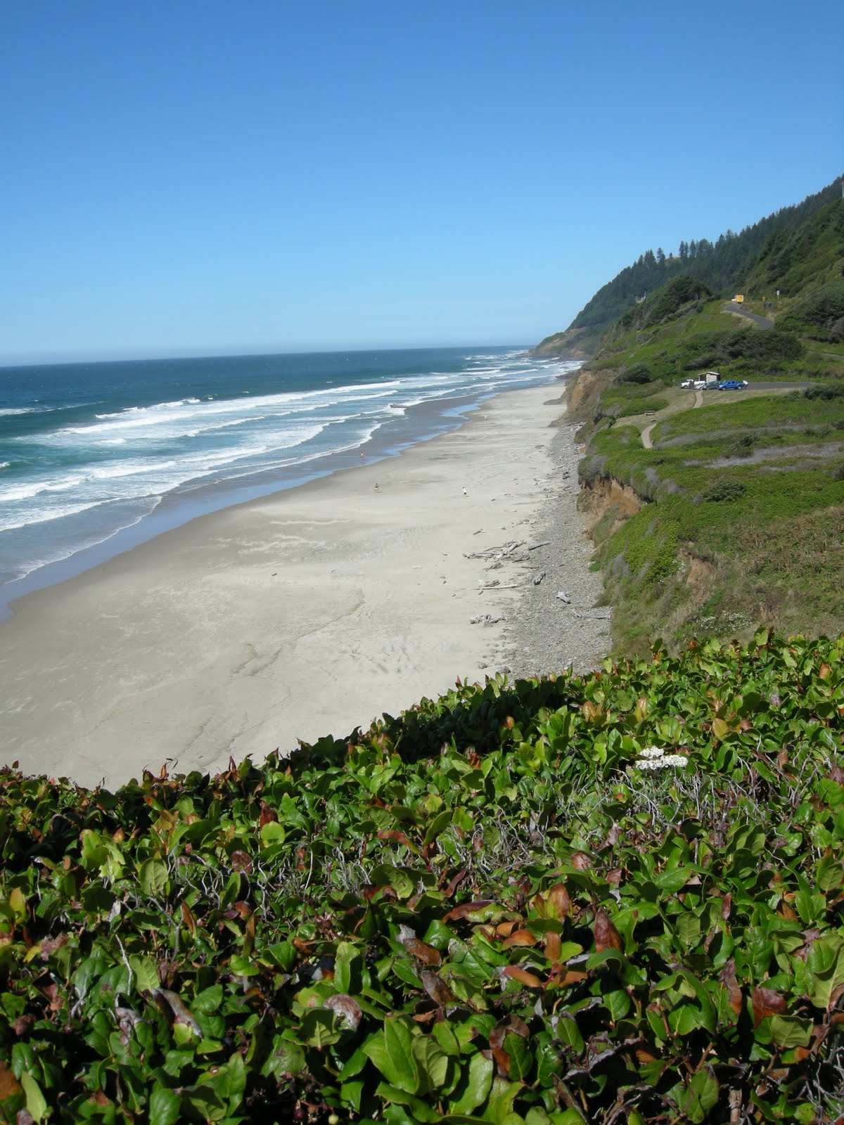
On the road again....Nestucca Bay with Haystack Rock in the background.

Not how you usually want to dock your boat!

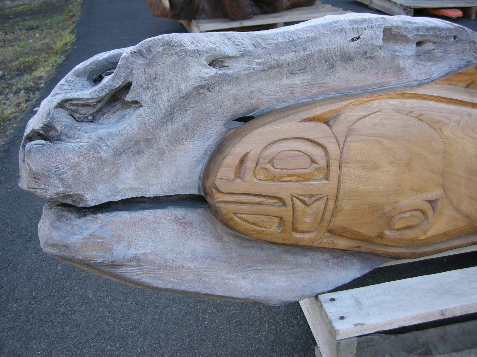
Art shows up in all kinds of spots along the coast.

Decision time....new highway or old highway....we went with old but another biker zoomed by taking the new version while we were discussing our choices.
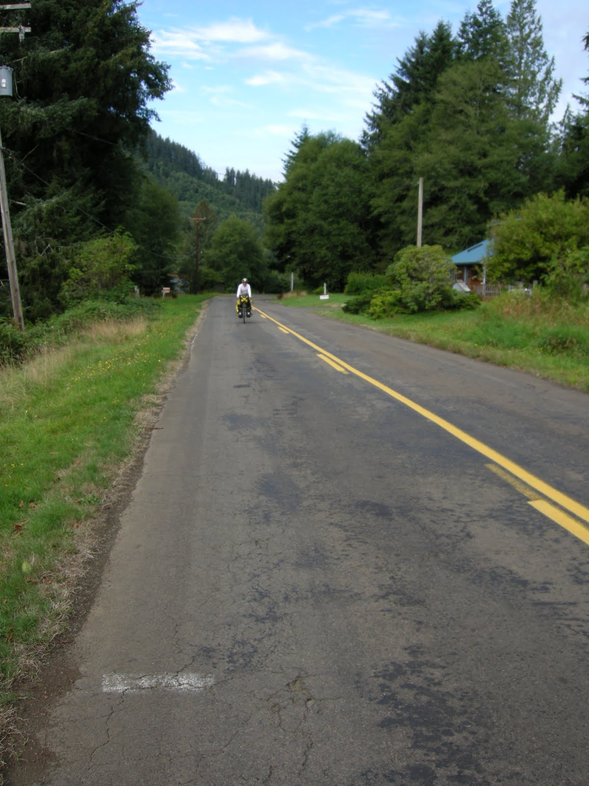
We were really happy with our choice. The road follows Slab Creek and we only saw 3 cars, 1 log truck, and one dump truck the whole time....

....and is was beautiful riding through the old-growth forest of Cascade Head Experimental Forest.

Our sentiments exactly!

Still going up.....

....and up until about 11:30. Then it was a thrilling ride down the other side with good pavement, several switchbacks and no traffic at all. We made it to Otis Cafe at Highway 18 junction (about 4 miles) by 11:45. We stopped for lunch at the cafe which was packed. We ended up sitting with a young local couple. She had waitressed there for 2 years so gave us the inside story and a sample of their Black Molasses Bread which was quite delicious as was the halibut sandwich.

A beautiful sign but not one of our favorite parts of today's ride. We tried to find a bike shop but missed it somehow. The town is very long and had a lot of traffic so we didn't stick around.

We did stop briefly to observe the "D" River, billed as the world's shortest. We reached the south end of town at 2:00. An half hour later a 3/8 inch screw punctured Donna's tire......and we had been doing so well. Now we really needed a another spare tire.

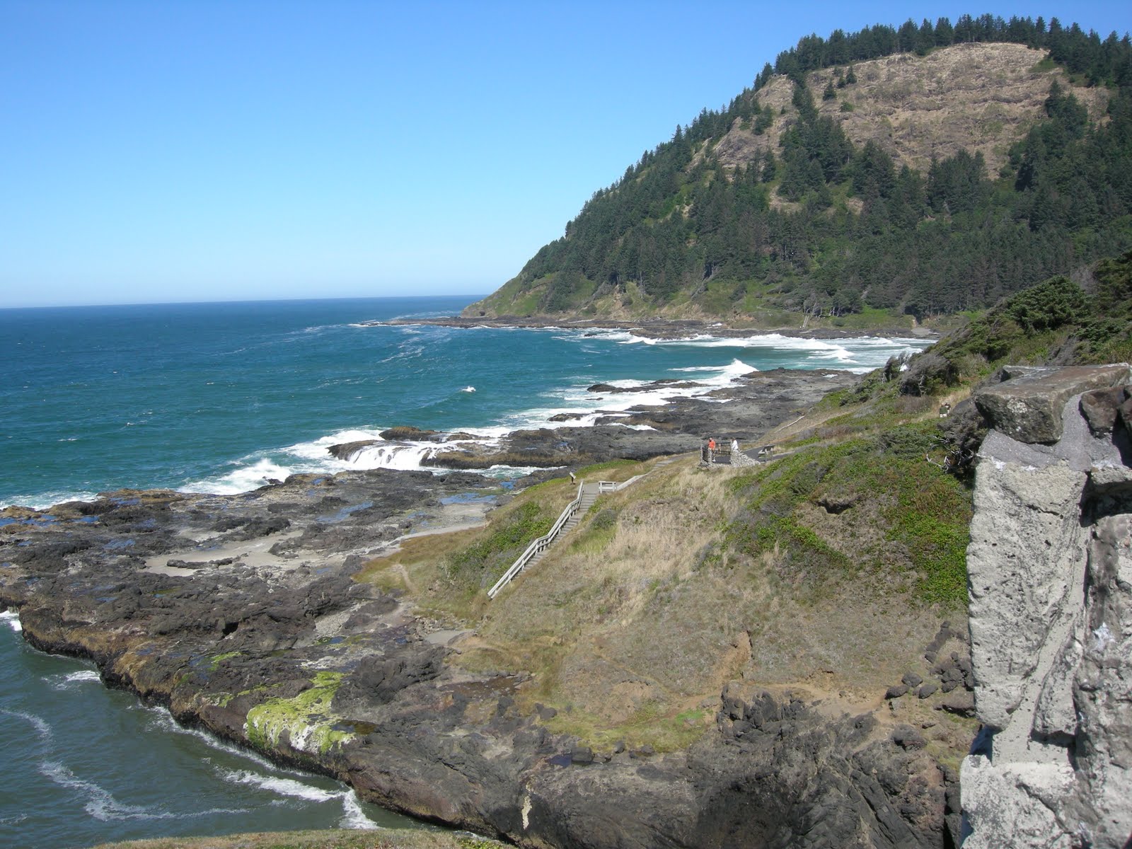
We lost the sunshine too but the scenery was still gorgeous. (Boiler Bay Day Use Area)

Just south of Depoe Bay (ice cream stop) we took the Otter Crest loop, another piece of the old highway. Much of it is a one way road with this wonderful bike lane. It took us over Cape Foulweather. About halfway up the hill as we were taking a break we spied a whale spouting. It spouted 5 more times....it was pretty exciting especially the time it came quite a ways out of the water.

Cape Foulweather was "discovered" by James Cook March 7, 1778. It was particularly stormy that day so hence the name. 100 mph winds are not unusual here. Fortunately we just had a very gentle breeze.

The ride down from the top of Cape Foulweather was a blast. Now we are almost back at sea level. That is Yaquina Head lighthouse in the far distance under the clouds.

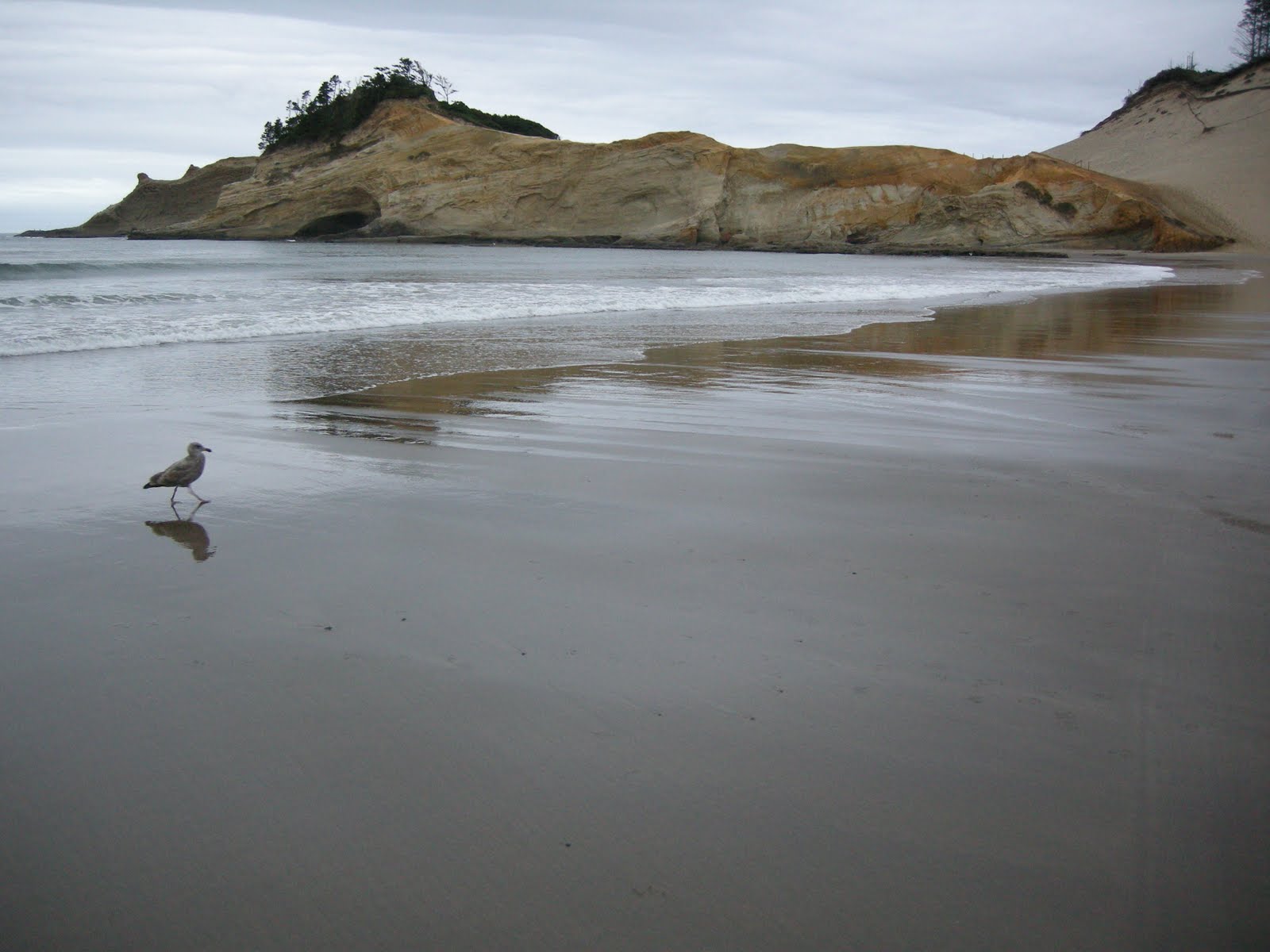
Our destination for the day. We took the scenic route starting at Agate Beach. By chance we stopped at a fire hall to find out where the local bike shop was located. One of the fireman was a cyclist and the shop was only 4 blocks away.
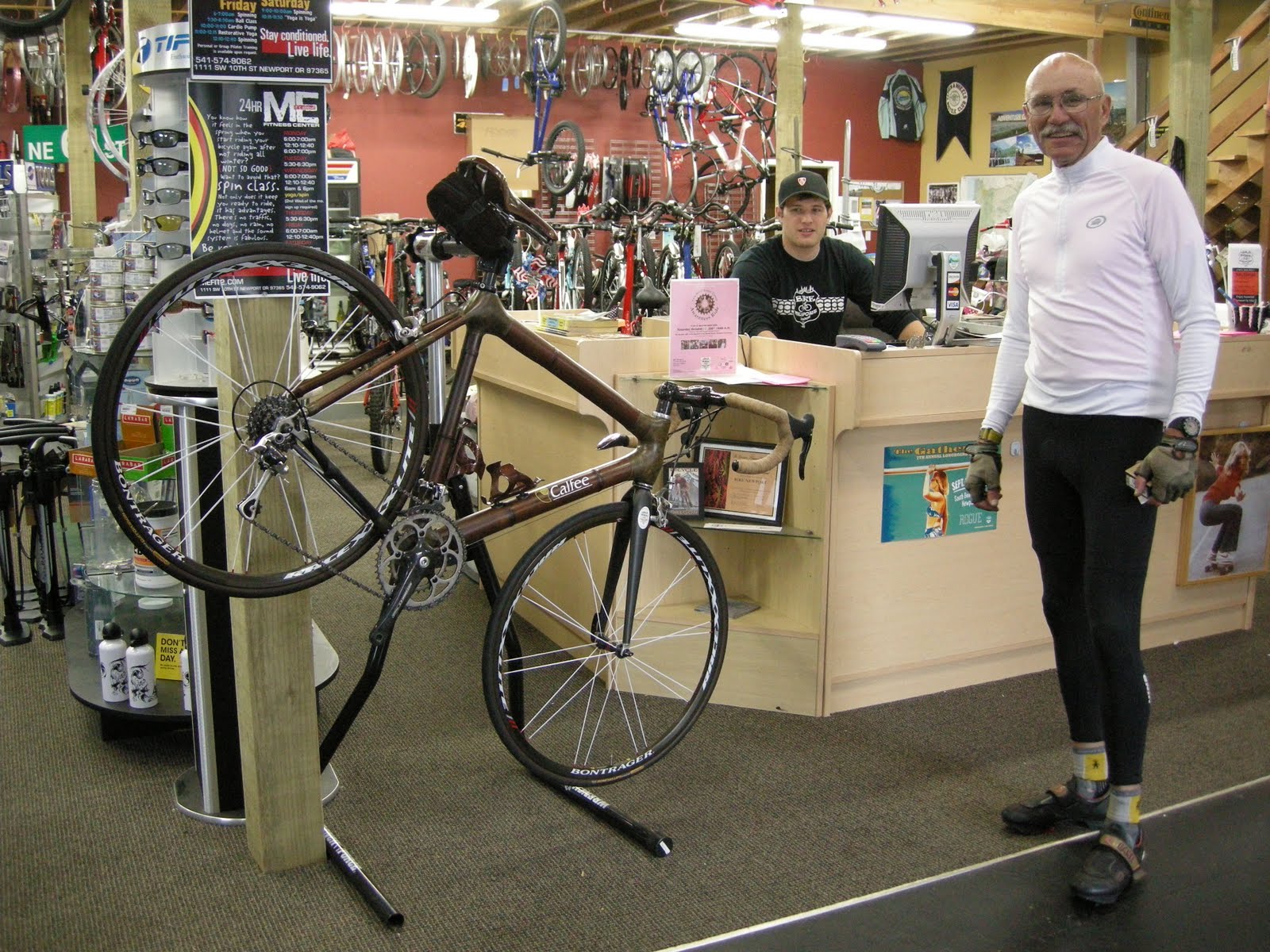
This shop had the right size tube.

They also had this really interesting bike on display. It is made out of bamboo.

This is the deja vu part of the trip. We were at this very intersection at the beginning of our 2007 cross country bike adventure that followed Highway 20. It is only a 2 day ride home from here but the coastal road is still calling. It got really foggy while we were eating dinner so we decided to motel it for the night just a couple of blocks from here.

55.9 miles for today for a total of 198.5 miles